Log in
All resources
Create a design
11,720 Free Images of 1876 Map Sheets
oil on canvas
géographie générale; physique, politique et économique (1876)
bibliothèque nationale de france
unknown
curt teich postcard archives
postcards published by mid-west map
1876 paintings from denmark
reconstruction of ruysch's africa map by stanley
john rocque
paper sheets in portrait paintings
map of italy by guillaume delisle (1700)
1700 maps of italy
curt teich postcard archives
postcards of oklahoma city
curt teich postcard archives
postcards of oklahoma city
curt teich postcard archives
postcards of miami, oklahoma
postcards of vinita, oklahoma
curt teich postcard archives
john rocque's 1746 map of london
old and new london (book)
curt teich postcard archives
postcards of miami, oklahoma
curt teich postcard archives
postcards of tulsa, oklahoma
arnold van langren map of southwest africa
cartouche (cartography)
ordnance survey 1:25000 maps (full sheets)
uphall, west lothian
géographie générale; physique, politique et économique (1876)
1870s maps of france
the adventures of tom sawyer (1876)
dogs in art
frank leslie's illustrated newspaper, 1876
charles st. george stanley
the comprehensive history of england (1876)
beverley gate, kingston upon hull
géographie générale; physique, politique et économique (1876)
1870s maps of france
géographie générale; physique, politique et économique (1876)
1870s maps of portugal
nouvelle géographie universelle, vol. xvi
1876 maps of the united states
paintings of salome by gustave moreau
symbolism
géographie générale; physique, politique et économique (1876)
1870s maps of scotland
géographie générale; physique, politique et économique (1876)
1870s maps of cuba
géographie générale; physique, politique et économique (1876)
maps of gironde (estuary)
1876 portrait paintings of women
josé maría obregón
black and white photographs
louisa craig (ship, 1876)
géographie générale; physique, politique et économique (1876)
1870s maps of arabia
géographie générale; physique, politique et économique (1876)
1870s maps of greece
géographie générale; physique, politique et économique (1876)
1870s maps of france
géographie générale; physique, politique et économique (1876)
1870s maps of england
the geographical distribution of animals (book)
1876 maps of the world
18th-century portrait paintings in the scottish national gallery
paintings by johann heinrich wilhelm tischbein
charles barry
orientalism
1876 landscape paintings from denmark
henrik ludvig galster
1876 paintings from denmark
paintings by carl thomsen
paintings by nikodim silivanovich
1876 paintings from russia
paintings by william hammer
1876 paintings from denmark
paintings by vilhelm rosenstand
1876 paintings from denmark
r. hausermann, carte de la terre sainte, 1914
eran laor cartographic collection
map of paris by françois quesnel
hôtel du petit-bourbon
cornelius aurelius world map
1916 maps
barthélémy joseph fulcran roger
18th-century men of france
map of europe by guillaume sanson (1674)
1677 maps of europe
map of italy by guillaume delisle (1700)
1700s maps of italy
bern city map of 1638 by matthäus merian
baroque
drawings by michał elwiro andriolli
romanticism
1876 landscape paintings from denmark
paintings by carl würtzen
paintings by christian olavius zeuthen
1876 paintings from denmark
marine paintings by carl neumann
1876 paintings from denmark
1876 landscape paintings from denmark
paintings by frederik rohde
brehms tierleben. allgemeine kunde des tierreichs (1876)
scomber scombrus
1470s maps of africa
1477 maps
ptolemy's 3rd african map
1477 maps
department of american paintings and sculpture, metropolitan museum of art
1876 drawings
historical images of the hôtel d'angoulême lamoignon
turgot map of paris – derivative files
old maps of the tyrol
south tyrol
old maps of the tyrol
south tyrol
marble flooring in the netherlands
burgerzaal
marble flooring in the netherlands
burgerzaal
old maps of the tyrol
south tyrol
turgot map of paris, kyoto university library – derivative files
maps of palais de l'élysée
charles brooking's map of dublin (1728)
the custom house, dublin (1707)
proveniershof, haarlem
1689 map of haarlem
1529 maps of iran
1529 maps
1529 maps of iran
1529 maps
carriages in the 1680s
prints of haarlem
maps of the ottoman empire by mercator-hondius
eran laor cartographic collection
1529 maps of iran
1529 maps
maps of the ottoman empire by mercator-hondius
eran laor cartographic collection
curt teich postcard archives
map postcards
1529 maps of iran
1529 maps
2023 stamps of indonesia
bosscha observatory
1834 lithographs
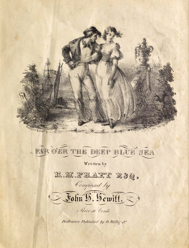
couples in art
engravings by romeyn de hooghe
prints of carriages
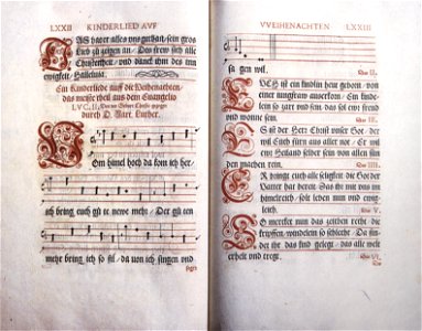
collections of prädikantenbibliothek isny
german-language sheet music of hymns
female court dress of the united kingdom
margaret forrest
reconstruction of ruysch's africa map by stanley
new light on dark africa (dulcken)
reconstruction of ruysch's africa map by stanley
dans les ténèbres de l'afrique (1890)
reconstruction of ruysch's africa map by stanley
im dunkelsten afrika (1890) by wobeser
john and sebastian cabot. a study (1886)
map of juan de la cosa
reconstruction of ruysch's africa map by stanley
stanley in afrika's donkere wildernissen (1890)
reconstruction of ruysch's africa map by stanley
im dunkelsten afrika (1890) by wobeser
paintings by claude monet in the metropolitan museum of art
impressionism
paintings by ralph earl
oliver ellsworth
early netherlandish painting
t and o map
historia de los voluntarios cubanos (1872-1876)
juan alés y escobar
historia de los voluntarios cubanos (1872-1876)
juan alés y escobar
dessins de victor coindre dans l'éclipse
1876 drawings
1876 paintings by pierre-auguste renoir
impressionism
drawings of chimpanzees
gartenlaube (1876)
troubadour style,orientalism,romanticism
1876 paintings by francesco hayez
sheets of stamps of the states of germany
1875 stamps of heligoland
liparidae illustrations
rhodichthys regina
1870s maps of libya
ghadames
frank leslie's illustrated newspaper, 1876
edward jump
the adventures of tom sawyer (1876)
true williams
xiphioidei illustrations
drawings of fish
arnold van langren map of east africa
1600 maps of africa
john rocque's 1748 map of london and adjacent country
bibliothèque nationale de france
john rocque's 1748 map of london and adjacent country
bibliothèque nationale de france
map of amsterdam by gerrit de broen (ii)
bibliothèque nationale de france
john rocque's 1748 map of london and adjacent country
bibliothèque nationale de france
map collection of leibniz-institut für länderkunde
19th-century maps of the bosphorus
5101 - 5200 of 11,720
Next page
/ 118